Is it worth paying more to be closer to the ocean in Kalaoa, or will you love the cooler air mauka? In Kalaoa, moving a few hundred feet up the slope can change your daily comfort, your insurance needs, and your home’s resale value. If you understand how elevation bands shape climate, hazards, and costs, you can choose the right fit and price it with confidence. This guide breaks down the tradeoffs and gives you a simple checklist to evaluate any Kalaoa property. Let’s dive in.
Kalaoa’s elevation bands at a glance
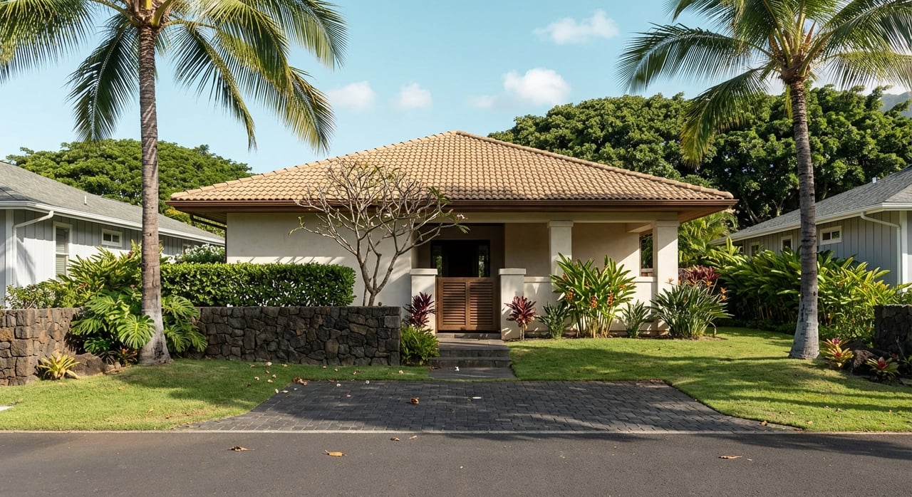
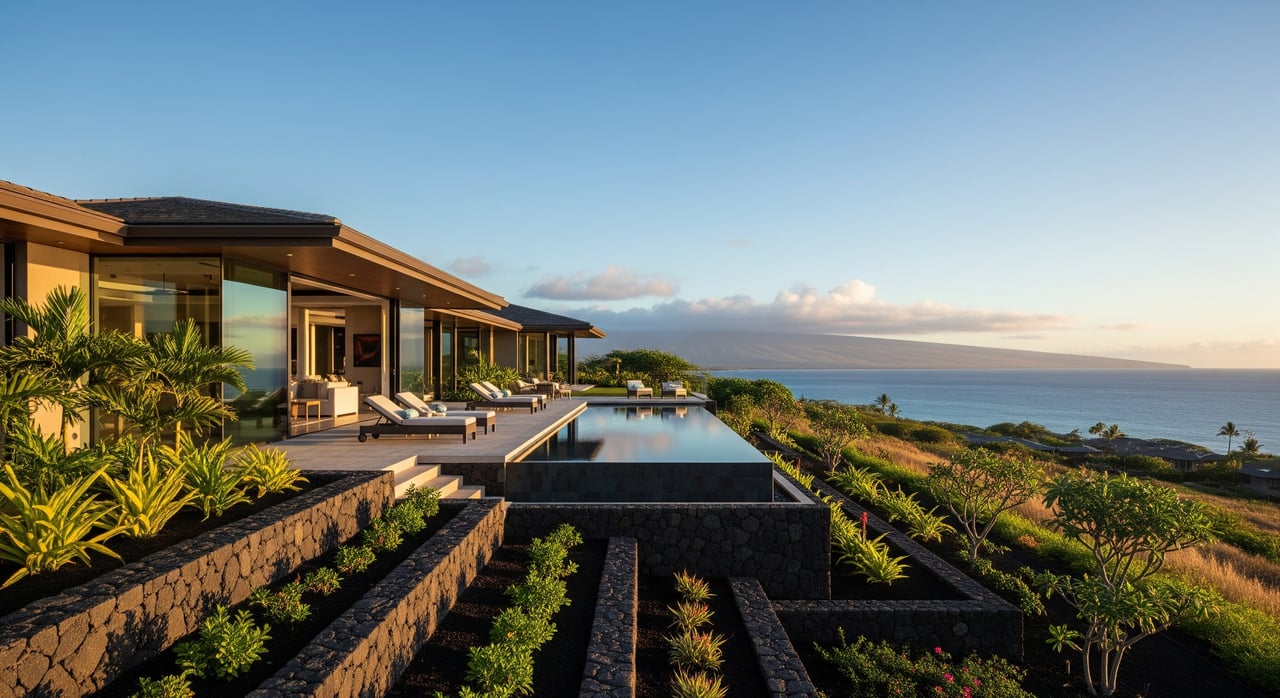
Kalaoa stretches from near sea level along the coast to roughly 1,500–1,800+ feet upslope on Hualālai’s flanks. That range creates distinct micro‑markets within the same community. You might be comparing a sunny coastal home with a cooler, greener mauka property.
For context on the area’s extent and terrain, review the Kalaoa overview on Wikipedia. To see where a specific parcel sits, use Hawaii County’s TMK/property map tools to verify elevation and slope before you compare prices or make an offer. You can start with the county’s property records portal to locate a parcel and TMK reference number (Hawaii County property records).
How climate shifts with elevation
Temperature and comfort
Air temperature generally drops about 3.5 to 3.6 degrees Fahrenheit per 1,000 feet of elevation gain, a common aviation and engineering rule of thumb known as the environmental lapse rate. If a mauka home sits 1,000 feet above the coast, it will often feel several degrees cooler on average. That affects how much you use air conditioning, how your landscaping performs, and even comfort at night. See the FAA’s discussion of lapse rates for background (environmental lapse rate reference).
Rainfall and vegetation
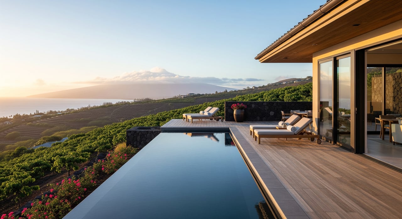
On Kona’s leeward side, the coast is relatively dry while upslope areas receive more rain. The Rainfall Atlas of Hawai‘i shows sharp gradients on Hualālai’s slopes, where coffee farms and forests get much more precipitation than the shoreline. More rain can mean lusher landscaping and lower irrigation needs, but it also increases maintenance and erosion control requirements (Rainfall Atlas overview).
Wind, sun, and vog
Coastal neighborhoods typically enjoy stronger trade winds and more sun. Mauka properties may see frequent afternoon cloud cover, which can cool the home and lower solar output. Volcanic vog is episodic and depends on wind patterns; when it occurs, leeward areas can be affected. You can read more about local context in the Kailua‑Kona overview and ask for property‑specific histories during due diligence.
How elevation shapes home prices
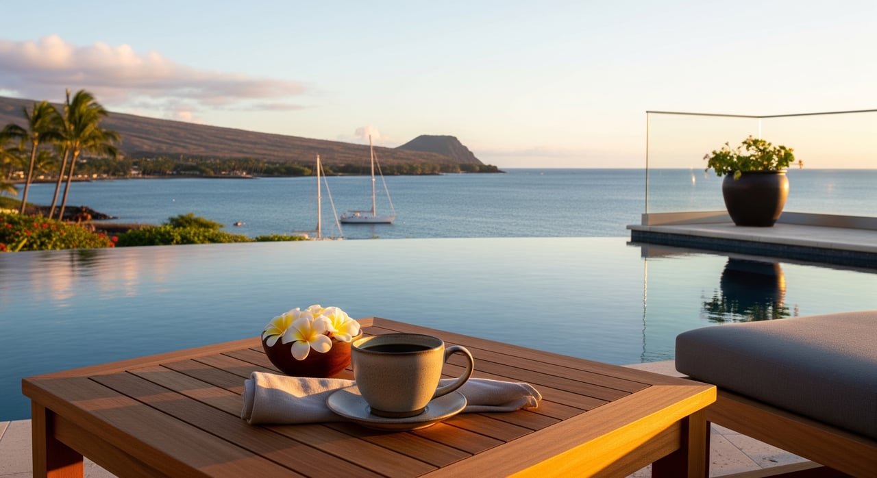
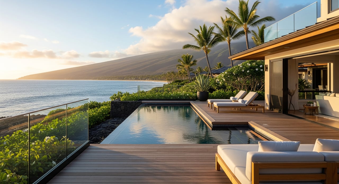
- Ocean view and coastal proximity: Clear ocean views and makai locations typically command the highest prices. Mid‑slope homes with partial views often fall in the mid‑to‑high tier.
- Access and services: Being closer to town, beaches, and the airport can lift demand and pricing. Longer drives from mauka parcels may trade convenience for privacy and space.
- Microclimate preference: Some buyers pay a premium for year‑round sun, while others value cooler air and greenery. That split creates price variation across Kalaoa.
Market snapshots show a wide spread in Kalaoa, with some inland or older homes trading under $500,000 and view or luxury coastal properties reaching well into the multimillion range. Medians for Kalaoa‑area listings often sit above broader Kailua‑Kona figures. These are illustrative ranges that change over time, so verify current data when you’re active in the market.
Hazards and regulations that affect value
- Lava hazard zone: Hualālai’s flanks, including parts of Kalaoa, are mapped as lava hazard zone 4. Lenders and insurers consider lava zone in underwriting, which can influence financing terms and resale calculus. Confirm a parcel’s designation using the USGS/HVO resources (USGS lava hazard map portal).
- Flood, tsunami, and sea‑level rise: Coastal parcels should be checked for FEMA flood zone status and long‑term sea‑level rise exposure. Hawai‘i planning guidance often evaluates 1 to 4 feet of rise by 2100 and considers higher scenarios for risk‑averse planning. Review parcel exposure using FEMA and the State/PacIOOS viewer (FEMA Flood Map Service Center, Hawai‘i Sea Level Rise Viewer).
- Insurance and financing: Lender‑required flood insurance applies in designated Special Flood Hazard Areas. Policy availability and cost can vary with coastal and volcanic risk. Get quotes early so coverage and costs are not a surprise at closing.
Cost and maintenance tradeoffs by band
- Coastal: Easier access to services and beaches, stronger sun, and salt exposure that can increase exterior maintenance. Flood and sea‑level planning may add mitigation costs.
- Mid‑slope: Often the best balance of views, breezes, and access. Cloud cover patterns can affect solar and roof drying. Drainage design matters on sloped lots.
- Mauka/upper slope: Cooler temperatures and greener surroundings, with potential for lower land cost per square foot. Steeper terrain can add expenses for driveways, retaining walls, drainage, and septic systems, and rainfall can increase vegetation upkeep (rainfall and slope context).
A practical due diligence checklist
Use this list for any Kalaoa property before you set price expectations or write an offer.
- Confirm elevation and slope. Pull the TMK and parcel map to see elevation and terrain for the lot (Hawaii County property records).
- Check lava hazard zone. Verify the parcel’s lava zone on the USGS/HVO map and note lender or insurer implications (USGS lava hazard map portal).
- Review FEMA flood status. Search the address in FEMA’s Map Service Center and obtain a FIRMette; if near a Special Flood Hazard Area, ask about an elevation certificate (FEMA Flood Map Service Center).
- Evaluate sea‑level rise exposure. Run the parcel through the Hawai‘i Sea Level Rise Viewer to see passive flooding and combined hazard layers at multiple scenarios (Hawai‘i Sea Level Rise Viewer).
- Confirm utilities and site constraints. Ask about county water/sewer vs well/septic, driveway maintenance, and any HOA rules; check county building requirements for steep slopes (Hawaii County property records).
- Get insurance quotes early. Price homeowner, wind/hurricane, and flood coverage and confirm exclusions related to lava, flood, or erosion risks.
- Validate view and sun patterns. Visit at different times of day and season. Cloud cover and winds can shift views and solar output (local weather pattern primer).
Which elevation band fits your goals
- Choose coastal if you value walkability to beaches and steady sun and you are prepared to plan for flood and sea‑level rise scenarios.
- Choose mid‑slope if you want a mix of views, breezes, and reasonable access to town.
- Choose mauka if you prefer cooler air and greenery and you are comfortable budgeting for site work and maintenance tied to steeper, wetter terrain.
Smart buyers and sellers in Kalaoa look beyond a single price per square foot. Elevation is a proxy for climate, views, hazard exposure, access, and build or upkeep costs. When you weigh those factors together for a specific parcel, you can price, negotiate, and plan with clarity.
Ready to compare properties band by band or price a listing with confidence? Connect with Team Kuessner Davis for local, concierge guidance and transaction‑savvy support from first look to closing.
FAQs
What are Kalaoa’s main elevation bands and how do they differ?
- Coastal areas are sunnier and drier with strong ocean‑view premiums; mid‑slope balances views and access; mauka is cooler and greener with more rainfall and potential site‑work costs.
How much cooler is a home 1,000 feet above the coast in Kalaoa?
- A common rule of thumb is about 3.5 to 3.6 degrees Fahrenheit cooler per 1,000 feet of elevation gain, based on the environmental lapse rate (lapse rate reference).
Do lava hazard zones affect mortgages in Kalaoa?
- Yes. Lenders and insurers consider USGS lava hazard zones in underwriting, and Hualālai’s flanks are mapped as zone 4; verify a parcel’s zone on the USGS/HVO portal (lava hazard map).
How should buyers check sea‑level rise risk near Kalaoa’s coast?
- Use the State’s Hawai‘i Sea Level Rise Viewer to review passive flooding and combined hazard layers at multiple scenarios through 2100 (sea level rise viewer).
Are higher‑elevation lots cheaper to build on in Kalaoa?
- Not necessarily; while land can be less expensive per square foot, steeper slopes and wetter conditions can add costs for driveways, retaining walls, drainage, and septic.
What should sellers disclose about elevation‑related hazards in Kalaoa?
- Provide parcel‑specific information on lava zone, FEMA flood status, any sea‑level rise exposure, utilities, and known site constraints; include maps or references from FEMA, USGS/HVO, and PacIOOS where relevant (FEMA MSC, USGS hazard portal, Hawai‘i SLR Viewer).