Choosing between Kalaoa and Kaiminani can feel tricky at first glance. On maps and in listings, the names sometimes swap places, and what you feel on a sunny shoreline can be very different a few minutes mauka. You want clarity on climate, housing styles, utilities, and daily convenience so you can choose with confidence. This guide breaks it down in plain language and gives you a practical checklist to use as you compare homes. Let’s dive in.
Kalaoa vs. Kaiminani explained
On official maps, you will see both names used. Kaiminani is a 2020 census-designated place that now covers much of the territory earlier census materials labeled as Kalaoa. That is why some government or data sites show Kaiminani where you expect to see Kalaoa. You can confirm that shift in the Kaiminani CDP overview.
Locally, many residents and real estate pros still say “Kalaoa” for the upland neighborhoods above the airport and around Kona Palisades. You will also see Kaiminani used, since Kaiminani Drive is a main mauka to makai road. Expect both names in listings and neighborhood guides. For parcel-level accuracy, check county or GIS map layers and the Kalaoa geography summary when you want elevation and setting context.
Microclimate: mauka vs. makai
Both areas sit on the leeward side of Hualālai. That means you generally get sunny, warm weather with lower rainfall than windward parts of the island. Elevation changes things fast. As you move upslope, temperatures ease and afternoon showers are more common.
What it feels like day to day
- Makai band near the highway and airport feels drier and sunnier.
- Mauka parcels on the slope, including upper Kona Palisades and beyond, feel a few degrees cooler with lusher vegetation.
- A noticeable gradient exists between the shoreline and higher lots, which can be 5 to 15 degrees cooler on calm days. For a data view, the SOEST precipitation tables show how North Kona stations vary by micro-site and elevation. See the Hualālai area precipitation tables.
Natural hazards and planning
North Kona, including much of Kalaoa and Kaiminani, is commonly mapped in USGS Lava Hazard Zone 4. Zone 4 has a lower long-term lava frequency than the Kīlauea rift zones, yet it still matters for insurance and lending. You can review the island-wide hazard context on the USGS lava-flow hazard map.
Kona can see occasional winter “Kona storms,” and vog may occur when Kīlauea is active. If you are near the shoreline, confirm FEMA flood zones and shoreline setbacks during due diligence. Coastal amenities include parks and the NELHA complex at Keāhole; for coastal land uses and site background, see the NELHA planning document.
Housing and HOAs
You will find a wide range of homes as you move from makai to mauka:
- Coastal to lower Kaiminani/Kalaoa: Light industrial, agricultural parcels, and commercial uses are common near Route 19 and the airport corridor. Some condo and apartment options appear in lower commercial strips near the highway.
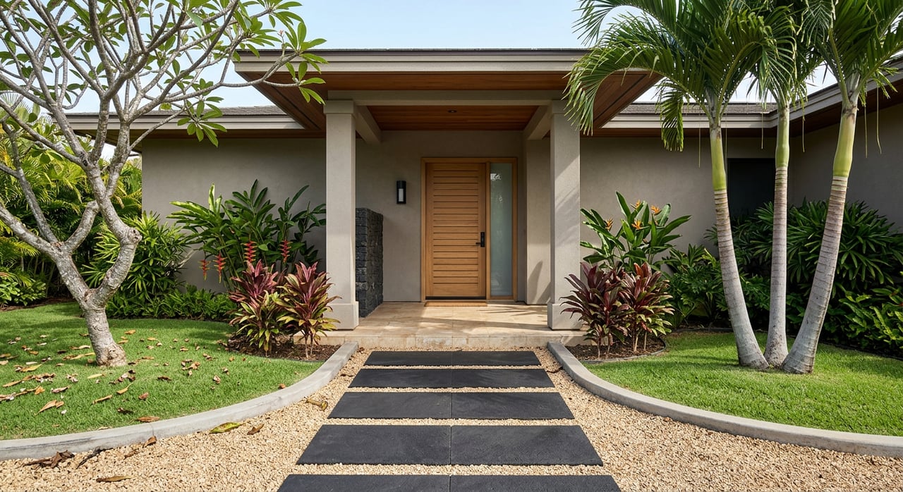
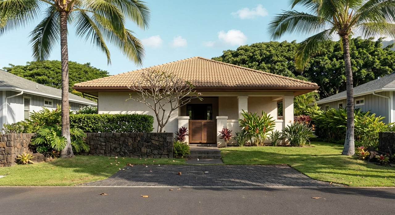
- Mid-slope neighborhoods along Kaiminani Drive and Kona Palisades: Suburban subdivisions with roughly 7,500 square foot lots up to larger parcels. Styles range from modest single-level homes to custom builds. Infill and planned subdivisions add variety.
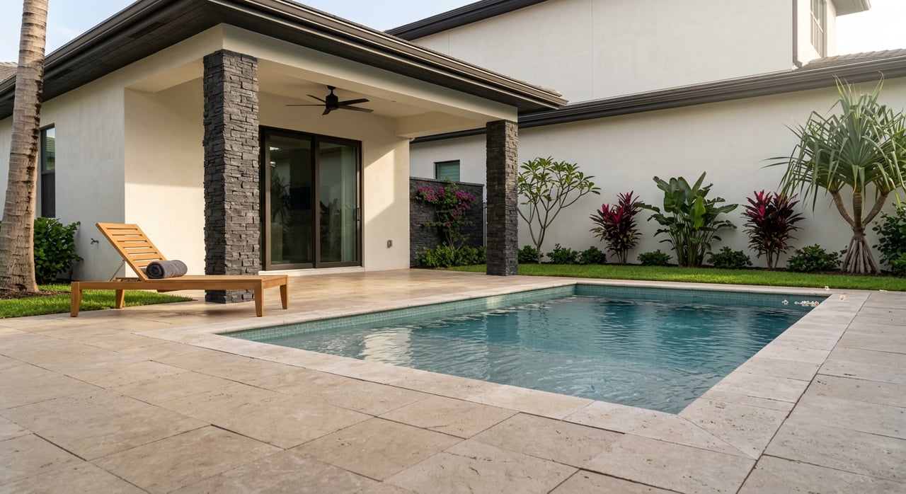
- Upper mauka estates such as Makalei and similar enclaves: Larger estate lots and custom homes, often oriented for tradewind cooling and ocean views. Many higher-end communities here have HOAs and sometimes gated entries with CC&Rs.
If a gated road or HOA is a must-have, you will likely focus on the upper mauka tier. If you want less formal governance and a traditional neighborhood feel, mid-slope streets around Kona Palisades provide many choices.
Access to roads and daily driving
Queen Kaʻahumanu Highway (Route 19) and Mamalahoa Highway (Route 190) are the main north-south connectors, with Kaiminani Drive as a key link between them. The state’s Kailua map shows these routes clearly, which helps when you estimate drive times to town or the airport. See the Hawai‘i DOT Kailua map.
Traffic is lighter than in major cities, but drive times shift with tourism peaks and school hours. Many homes in Kalaoa and Kaiminani sit within a short drive of the airport corridor, which is a daily convenience for work, medical visits, and shopping.
Shopping, groceries, and medical care
You will find big-box retail and grocery options in the general Kona and airport corridor, which keeps daily errands simple compared to more rural parts of the island. Always confirm current store locations, since tenants can change.
For hospital care, Kona Community Hospital in Kealakekua serves West Hawai‘i. It covers emergency and many specialty services, and some residents travel to Oʻahu or Hilo for specific care as needed. For context on facility projects and services, visit Kona Community Hospital’s project page.
Schools overview
Public schools that generally serve the Kalaoa and Kaiminani area include Kealakehe Elementary, Kealakehe Intermediate, and Kealakehe High based on county school feeds. Always verify exact school assignment by address with the Hawai‘i Department of Education, since boundaries can shift. Use neutral, fact-based criteria like program offerings and commute when comparing options.
Sewer, water, and internet: what to verify
Infrastructure varies by street and elevation, so it pays to double-check each property.
- Wastewater: North Kona’s regional facility is the Kealakehe Wastewater Treatment Plant. The plant and related county sewer programs are under regulatory review with multi-year upgrades planned. Many older parcels still use septic systems or legacy cesspools. This can affect renovation costs or future hookup timing. Review parcel-level sewer status with the county and read about the broader program context in this Civil Beat overview of wastewater upgrades and enforcement.
- Water: Potable water comes through county systems and local wells. In some mauka development plans, water availability and differences between irrigation and potable supply are key topics. Check county Department of Water Supply records for each lot. Regional planning documents, like the Kealakehe and Lālā‘i ‘Ōpua plan update, note wells that support subdivision water.
- Internet and cell: Coverage changes by micro-site. Ask whether the home has cable or fiber, or if you will rely on fixed wireless. For remote work, confirm speeds and providers during the inspection period.
Planned housing and neighborhood change
Hawai‘i County is studying a Kaiminani Drive workforce housing project. If it proceeds, you can expect changes in nearby housing mix, potential traffic patterns, and future services. Staying informed helps you plan for long-term ownership. Track updates on the county’s Kaiminani Drive workforce housing page.
Quick lifestyle tradeoffs
Use these general patterns to narrow your search:
- Choose lower Kaiminani or Kalaoa-makai if you want sunnier, drier conditions, shorter drives to the airport corridor, and the option to live near light commercial zones.
- Choose mid-slope Kona Palisades if you prefer a traditional neighborhood setting with a range of lot sizes and home styles, plus a cooler feel without a long drive to errands.
- Choose upper mauka estates if you prioritize larger lots, gated privacy, and tradewind cooling, and you are comfortable with HOA rules and fees.
Buyer checklist: verify before you write an offer
Work through this list during your search and escrow:
- Place name in records: Confirm whether the legal records use Kalaoa or Kaiminani. The Kaiminani CDP entry explains why sources differ.
- Elevation and climate: Note elevation on each listing and apply the gradient rule. Coast is generally drier and warmer. Mauka is typically cooler and slightly wetter. For context, see the SOEST precipitation tables.
- Hazard and insurance: Verify USGS lava zone designation, FEMA flood status, and wind coverage requirements. Zone 4 is common here. Review the island-wide USGS hazard map.
- Utilities: Ask for written confirmation of sewer connection or septic and cesspool permits, water meter status with county DWS, and available broadband providers. The Civil Beat wastewater report outlines why sewer planning is active in this area.
- HOA and CC&Rs: If considering upper mauka or gated communities, request CC&Rs, budgets, meeting minutes, and any design guidelines.
- Planned projects: Review the county’s Kaiminani workforce housing page and other notices to understand potential changes in traffic and nearby housing.
Which one is right for you
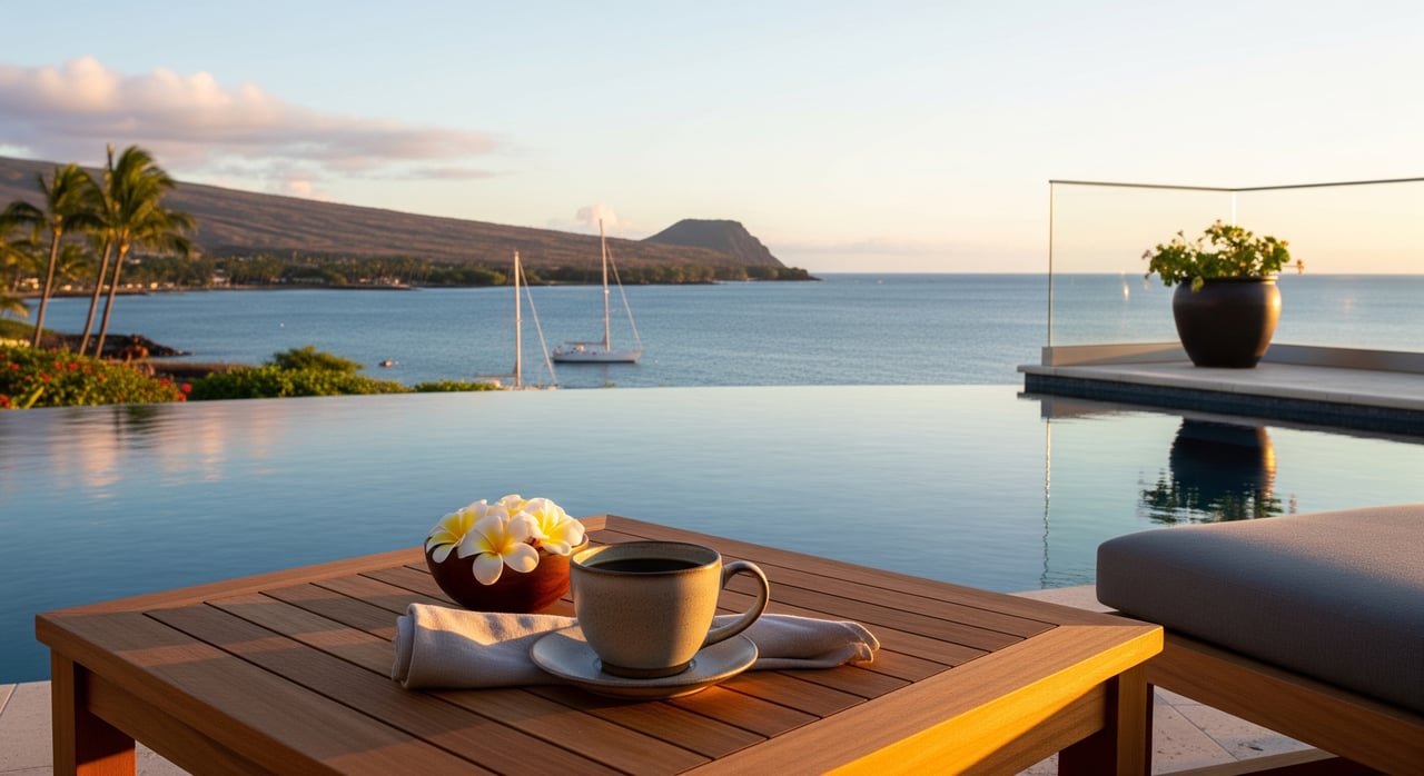
If you picture bright mornings, quick errands, and easy airport access, starting makai or mid-slope may fit you well. If you want cooler evenings, wide ocean views, and more space between homes, look mauka. Most buyers find that two or three exploratory drives at different times of day make the decision clear. Bring a simple checklist and compare how each home scores on climate, drive time, utilities, and HOA fit.
How Team Kuessner Davis can help
A local, transaction-savvy partner streamlines this process. We help you verify parcel details and utilities, clarify HOA rules, and understand how planned projects and hazard maps may affect your decision. We also coordinate vendors, remote closings, and all paperwork so you can focus on the right home and a smooth move.
If you are weighing Kalaoa against Kaiminani, we will walk you through on-the-ground tradeoffs, preview homes that match your criteria, and guide you from offer through closing. Ready to compare neighborhoods with confidence? Connect with Team Kuessner Davis to get started.
FAQs
What is the difference between Kalaoa and Kaiminani in records?
- Kaiminani is a newer census-designated place that covers much of the area older materials labeled as Kalaoa, so official sources may use either name depending on when they were updated.
How does elevation change the climate in North Kona?
- As you go mauka, temperatures drop and rainfall can increase slightly, while makai parcels are typically drier and sunnier according to regional precipitation patterns.
Are Kalaoa and Kaiminani in a lava hazard zone?
- Much of North Kona is mapped in USGS Lava Hazard Zone 4, which is lower frequency than rift zones but still relevant for insurance, lending, and planning.
Is sewer service common in these neighborhoods?
- Sewer is expanding regionally, yet many parcels still rely on septic or legacy cesspools, so you should verify sewer connection status and any future hookup plans with the county.
Which public schools generally serve Kalaoa and Kaiminani?
- Kealakehe Elementary, Intermediate, and High commonly serve this area, but you should confirm exact school assignment by property address with the Hawai‘i DOE.